H3: Why hexagons are so cool and how we can use them to map the world
A hands-on workshop on the H3 hexagonal grid system and how to use it to map and analyse the world.
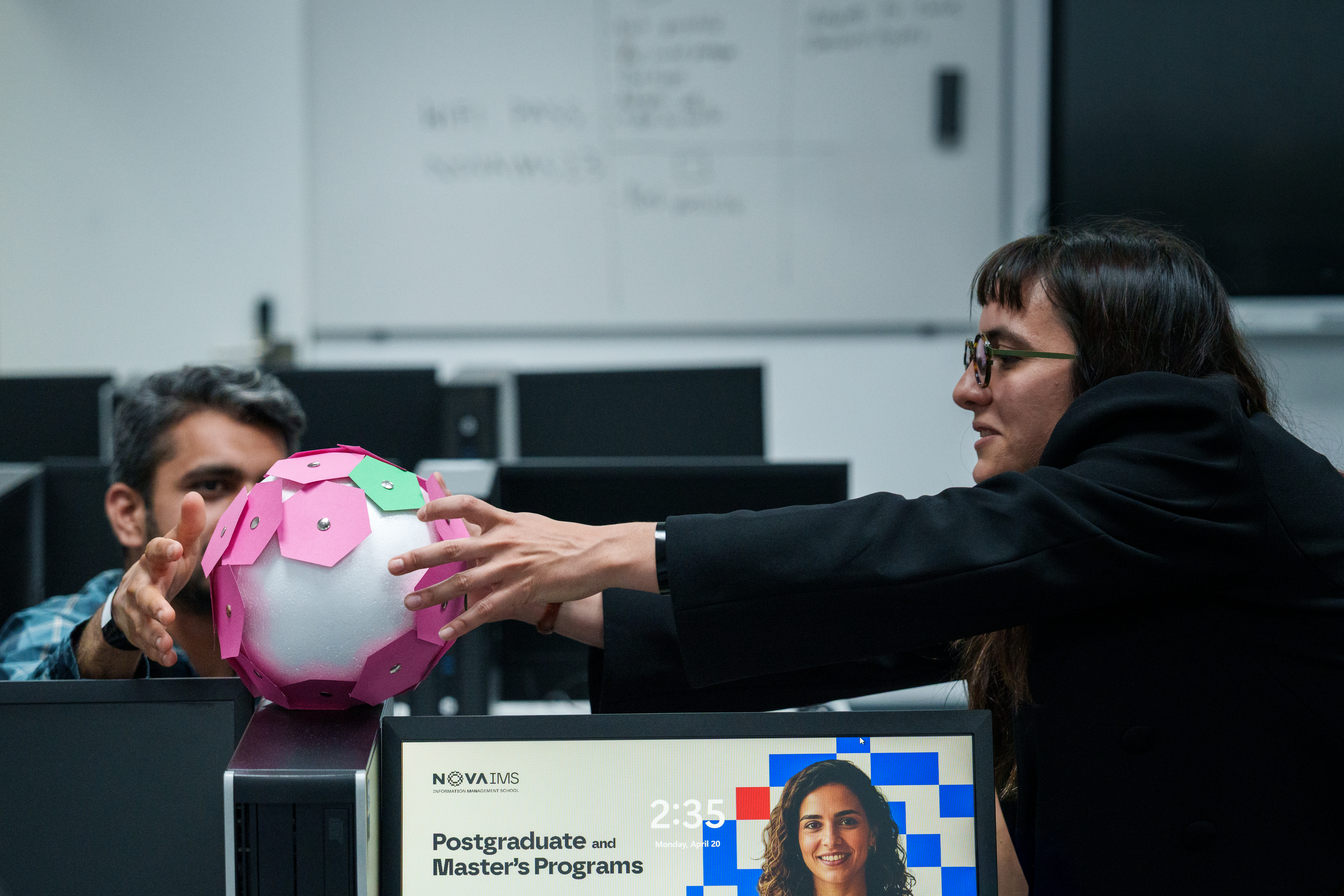
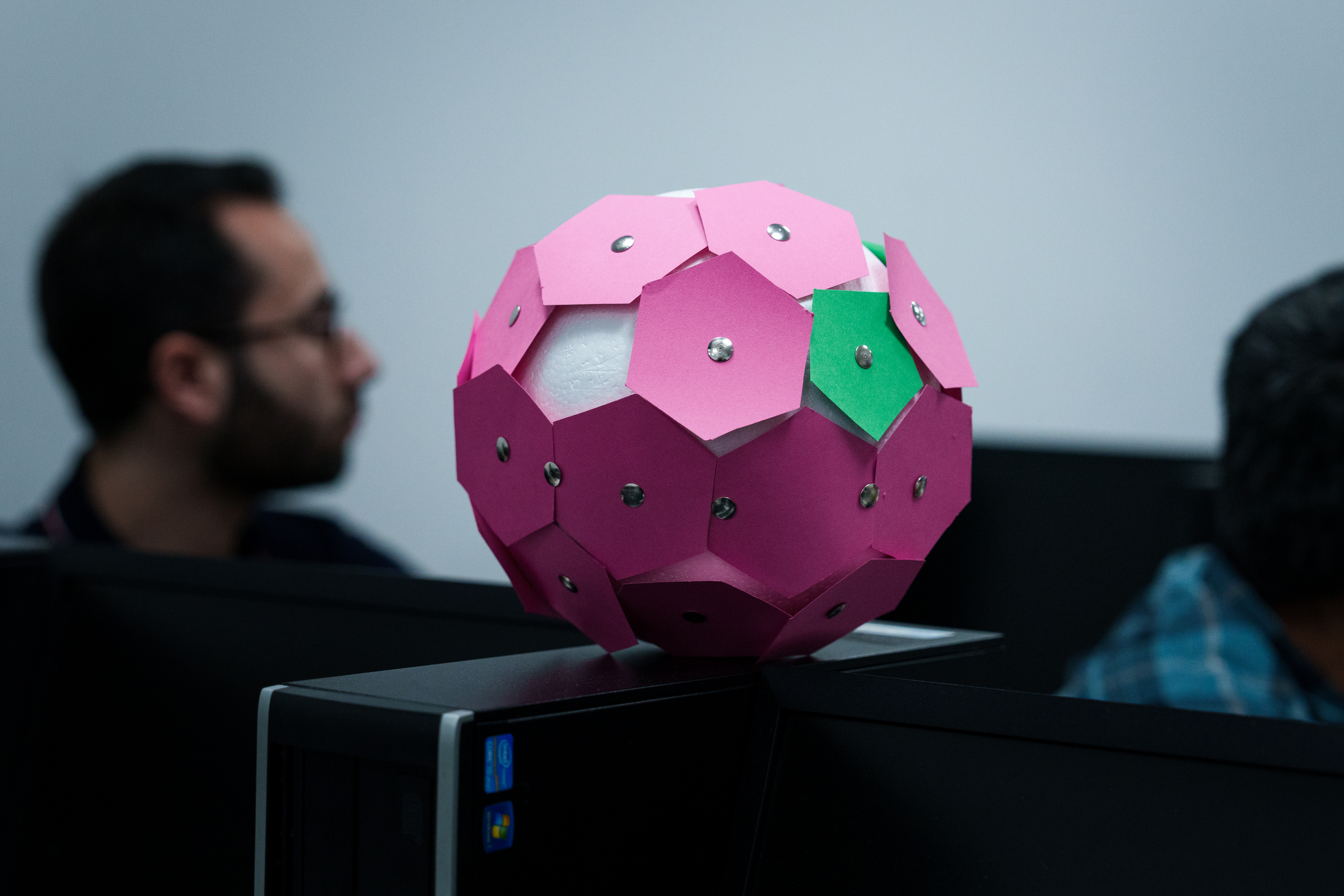
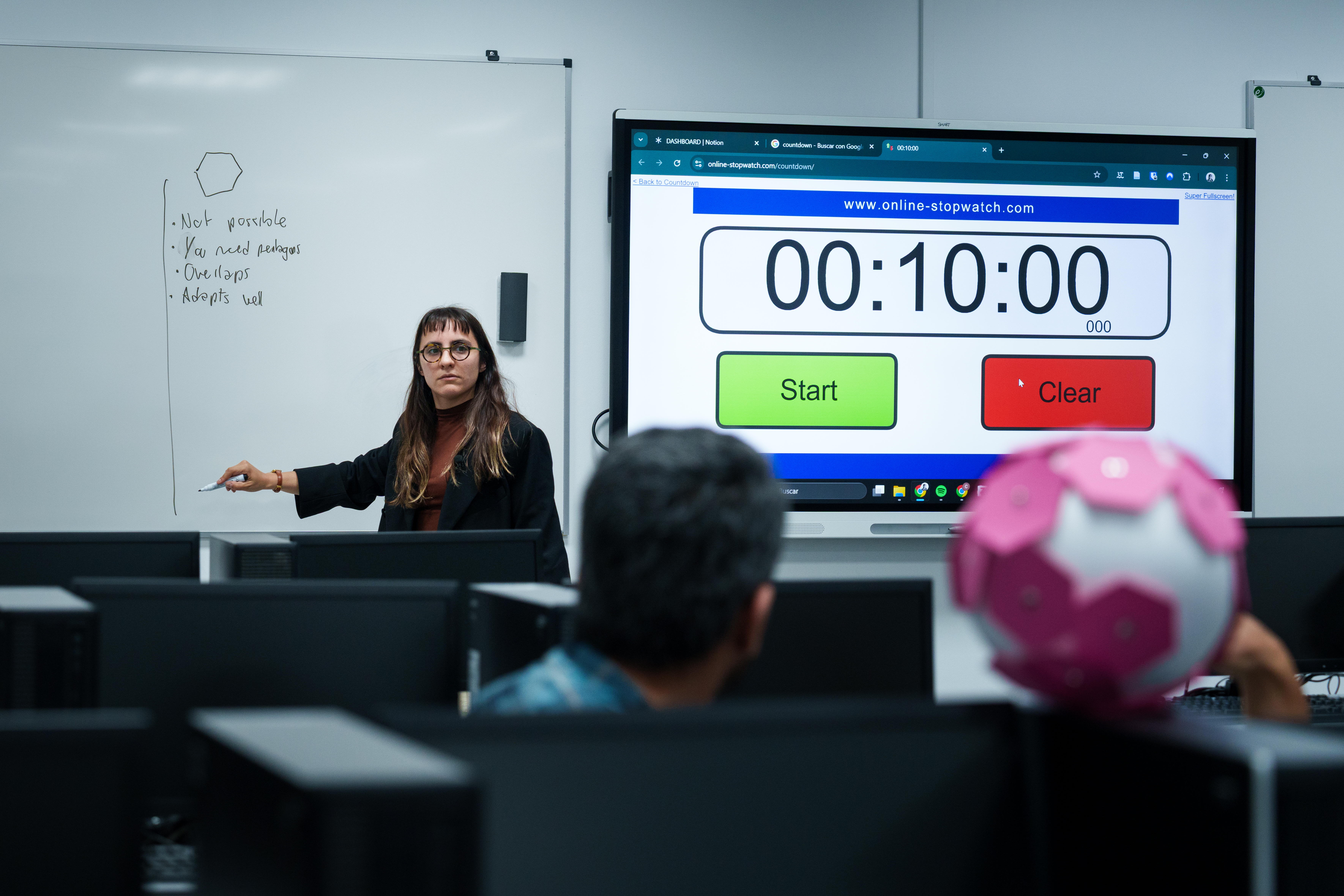
This workshop, facilitated at the NexTCity Summer School 2026, introduced the H3 hexagonal grid, an open, hierarchical geospatial indexing system, and explored why hexagonal tiling is such a useful way to represent space.
The workshop combined a theoretical introduction to the H3 system, with a crafty hands-on workshop to understand in practice how hexagons are used to map the world, and a python-based exercises' session to learn how to use the h3-py library to generate and manipulate H3 grids, and to perform spatial analysis on real-world datasets.
- H3
- Geospatial
- Workshop